CURRENT LANDSCAPE INITIATIVES
Sheffield-Egremont Agricultural, Ecological & Scenic Corridor
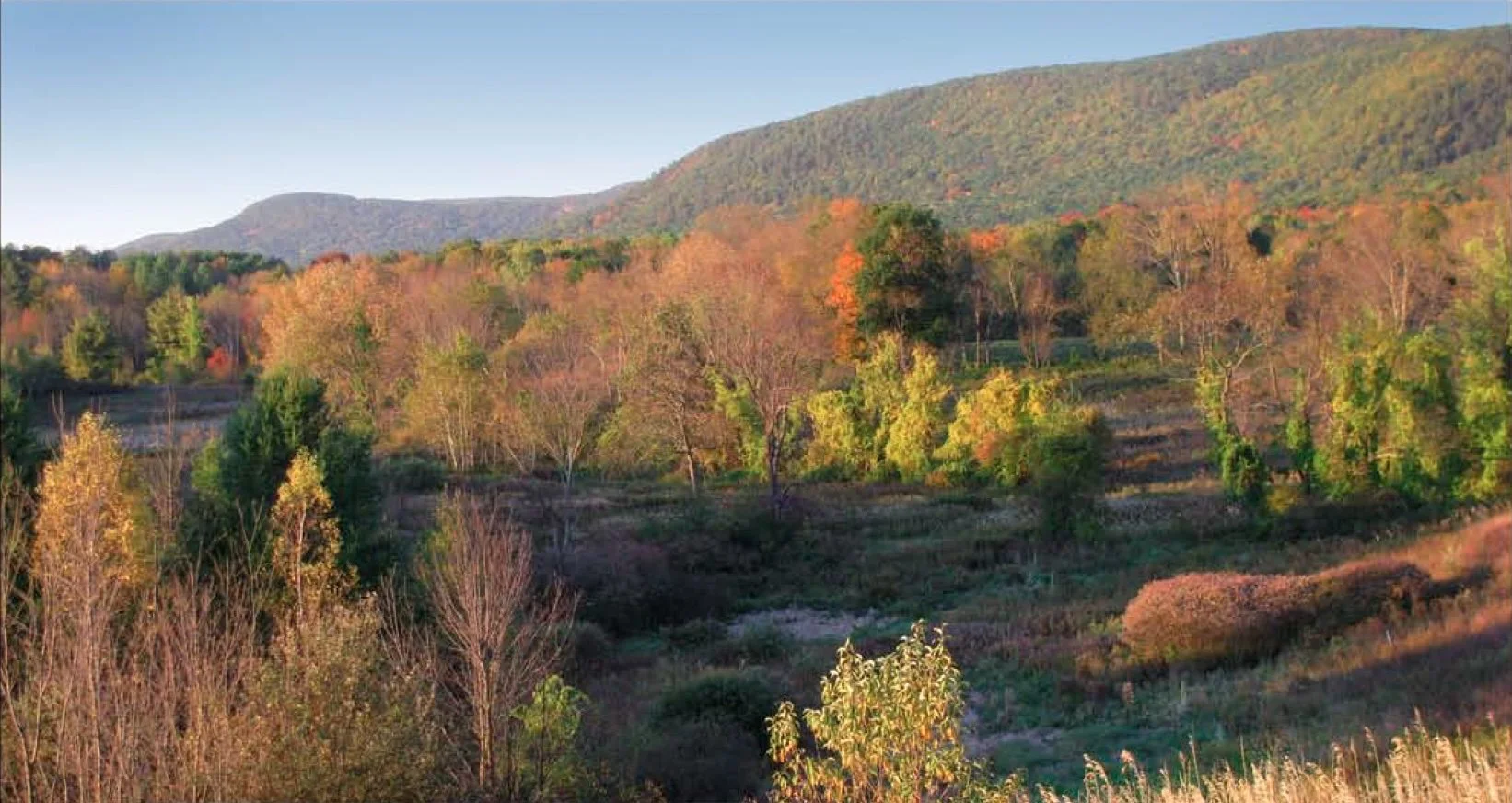
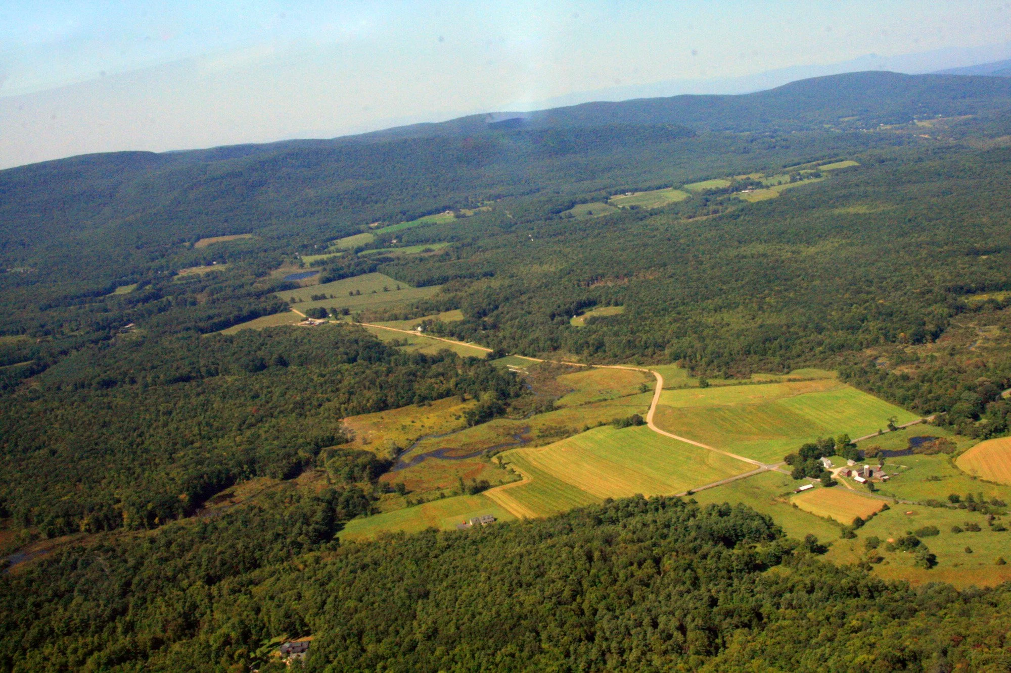
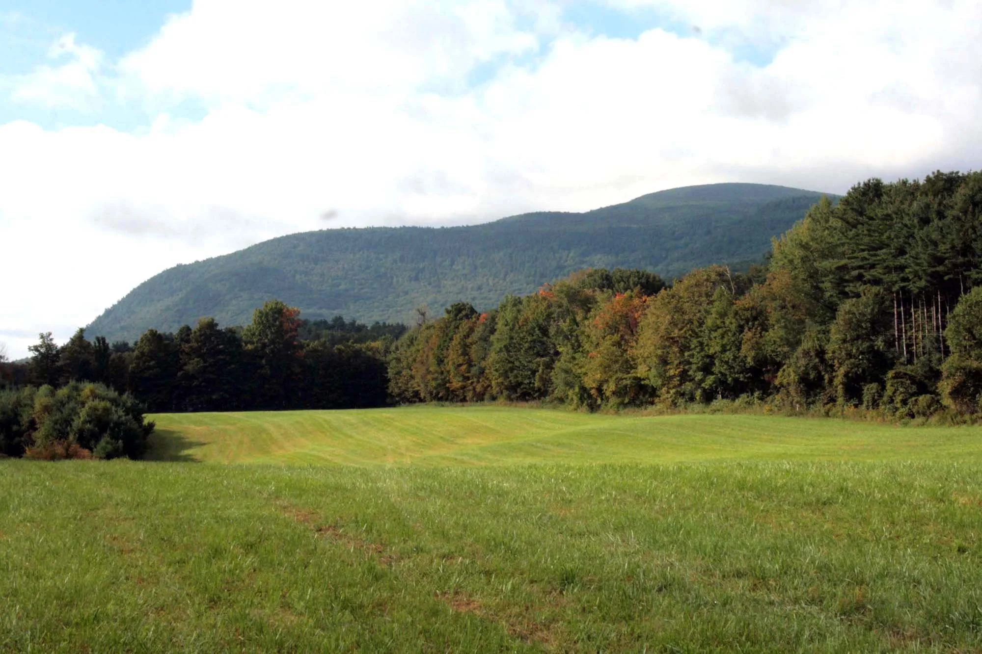
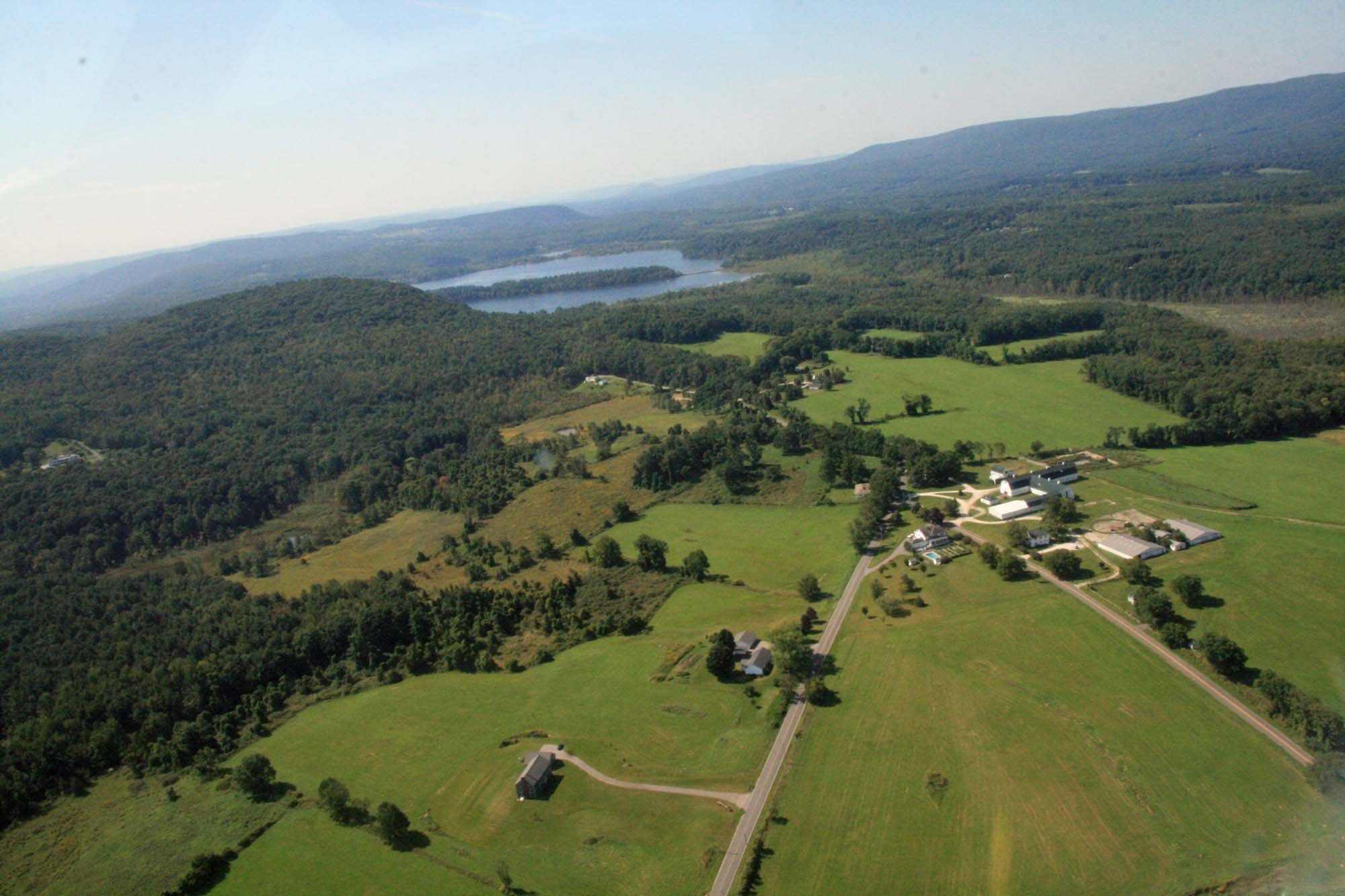
This decades-long initiative, protects a rare intact agricultural and ecological corridor that is essential to support the local and regional agricultural economy and ecological health. The heart of this corridor is over 2,000 acres of field, forest and wetlands in southeastern Egremont and northwestern Sheffield, which connect to over 5,000 additional acres of protected land, including the Appalachian Trail, Mt. Everett and Jug End State Reserves.
Working together with multiple State agencies and other conservation organizations, during the first four phases of the initiative, the Sheffield Land Trust (SLT) and the Egremont Land Trust (ELT) have helped families to conserve over 2,020 acres. The fifth phase aims to conserve another 500-plus acres.
Barrett Conservation Restriction – 12.656 acres
Batacchi Farm Agricultural Preservation Restrictions - 228.617 acres This Agricultural
Beattie-Hyatt Conservation Restriction – 43.215 acres
Berkshire School-Natural Heritage & Endangered Species Program Conservation Restriction – 11 acres
Bow Wow Road Agricultural Preservation Restriction – 109 acres
Bow Wow Woods - 54.95 acres
Bow Wow Farm Project - 401.4 acres
Chase Conservation Restriction – 34 acres
Chase – Bow Wow Farm Agricultural Preservation Restriction and
Wildlife Management Area – 400 acres
Curtiss Agricultural Preservation Restriction – 12 acres
Div. of Fisheries & Wildlife-Aparo Tract – 75 acres
Div. of Fisheries & Wildlife Curtiss/Lone Pine Tract – 85 acres
Div. of Fisheries & Wildlife-McKenna Tract – 76 acres
Dixon Conservation Restriction – 3 acres
Larkin Agricultural Preservation Restriction – 141 acres
MacDonald Conservation Restriction – 14.862 acres
Maple Shade Farm Agricultural Preservation Restrictions & Wildlife
Area – 110 acres
Myers Conservation Restriction - 20 acres
Quarry Hill Farm Agricultural Preservation Restriction & Wildlife Area –
186 acres
Rote Agricultural Land – 7 acres
Schlesinger Reserve – 120 acres
Sheffield Land Group Conservation Restriction – 53 acres
Stookey Conservation Restriction – 46.7 acres
Ongoing Projects We are also working on Conservation Restrictions and Agricultural Preservation Restriction with other families that will be added to this list when they are completed.
Housatonic River Agricultural & Ecological Corridor
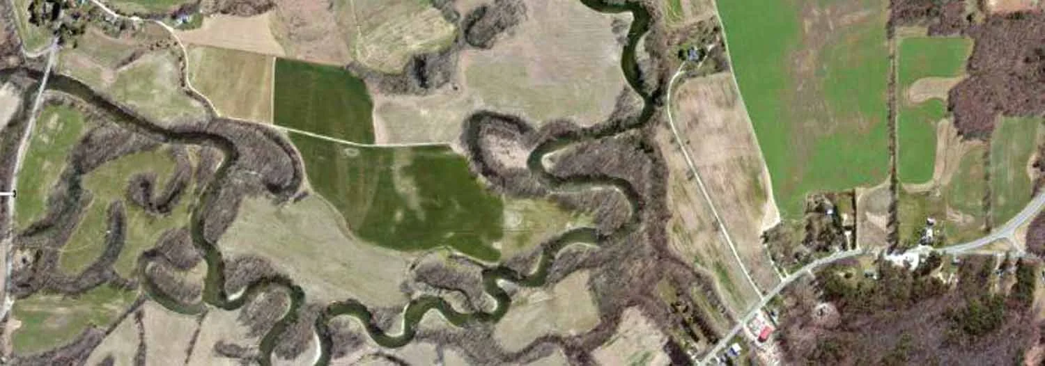
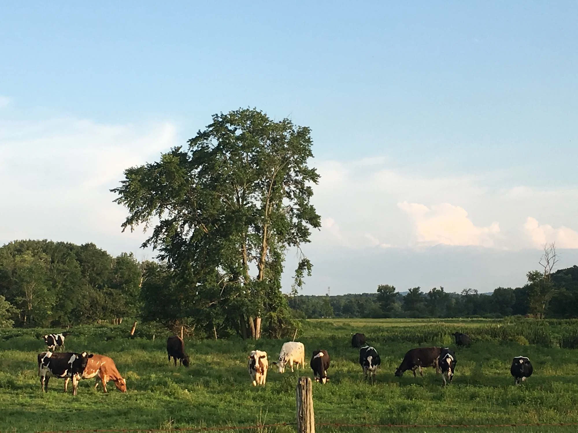
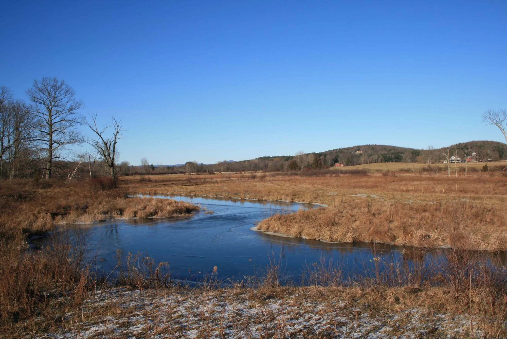
This decades-long initiative seeks to protect a riparian corridor and watershed including extensive blocks of farmland and wildlife habitat on both sides of the Housatonic River, much of which is an historic landscape dating back to early Sheffield.
Working together with multiple State agencies and other conservation organizations, the SLT has helped families to conserve over 2,000 acres.
Ongoing projects will add to that number.
Cader/Reich Conservation Restriction – 6 acres
Cavalier Agricultural Preservation Restriction – 96 acres
Chapin/Balsam Hill Farm Agricultural Preservation Restriction – 153 acres
Cook Conservation Restriction – 50 acres
Div. of Fisheries & Wildlife – Brush Hill Tract – 147 acres
Egerton Agricultural Preservation Restriction – 67 acres
Griffiths/Cold Spring Farm Agricultural Preservation Restriction – 50 acres
Halper Conservation Restriction – 4 acres
Howden Agricultural Preservation Restrictions - 249 acres
Hunting/Hamilton Conservation Restriction – 95.399
Kelly/Blue Bird Hill Agricultural Preservation Restriction – 310 acres
Lanier Reserve – 17 acres
Larkin Agricultural Preservation Restrictions – 209 acres
Reich Conservation Restriction – 16 acres
River Lea Farm Agricultural Preservation Restriction - 306 The SLT recently completed an APR on Boardman Street, protecting 306 acres of tillable farmland, pasture, woodland, ponds and wetland including farm buildings and extensive frontage along the Housatonic River, to help support one of the state's largest dairy operations.
Robins/June Mountain Reserve – 143 acres
Rob’s Landing – 30 acres
Route 7 Agricultural Land - 12
Saunders Conservation Restriction – 94 acres
The Nature Conservancy/Tatkon Conservation Restriction – 12 acres
Thomas/Haynes Conservation Restrictions- 52 acres
Ziegler/Corn Crib Agricultural Preservation Restriction – 27 acres
Ongoing Projects We are also working on Conservation Restrictions and Agricultural Preservation Restriction with other families that will be added to this list when they are completed.
The Community Trail Network
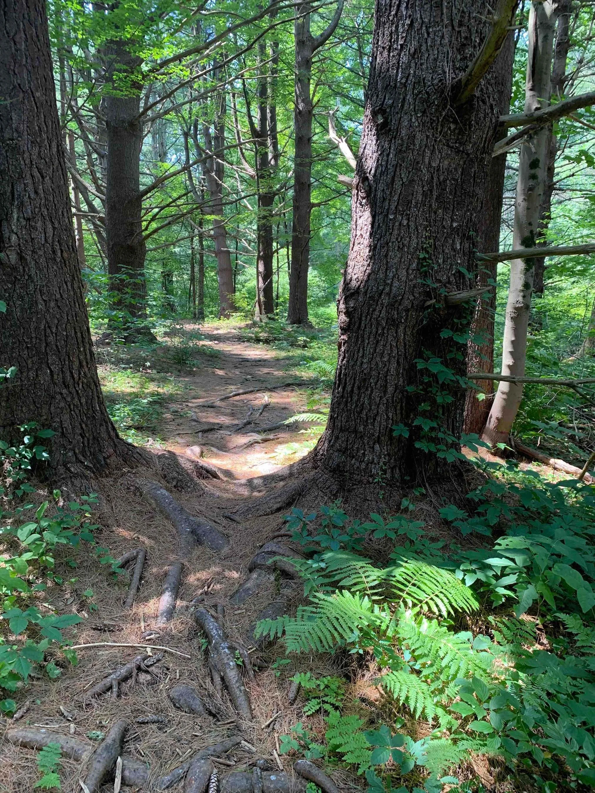
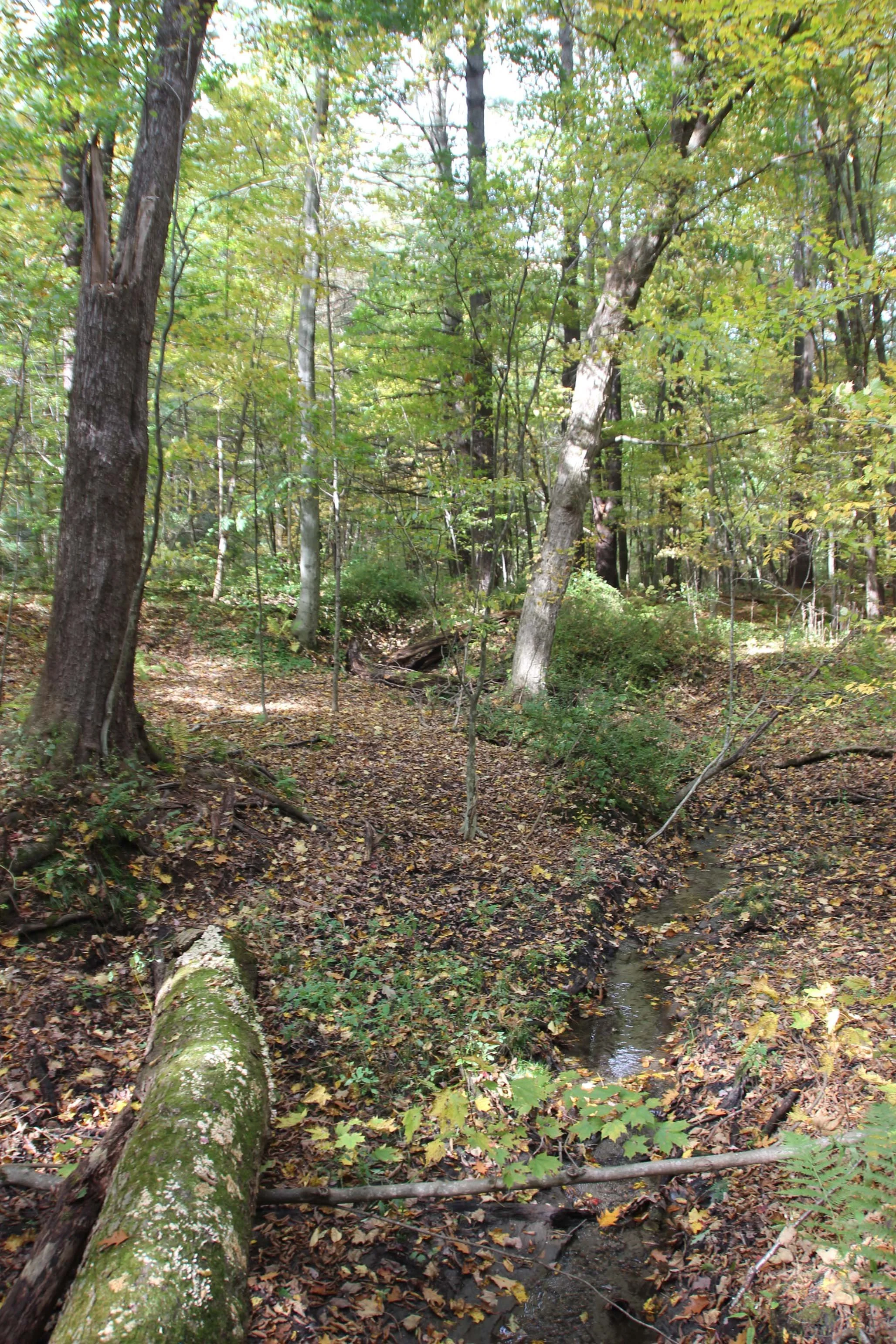
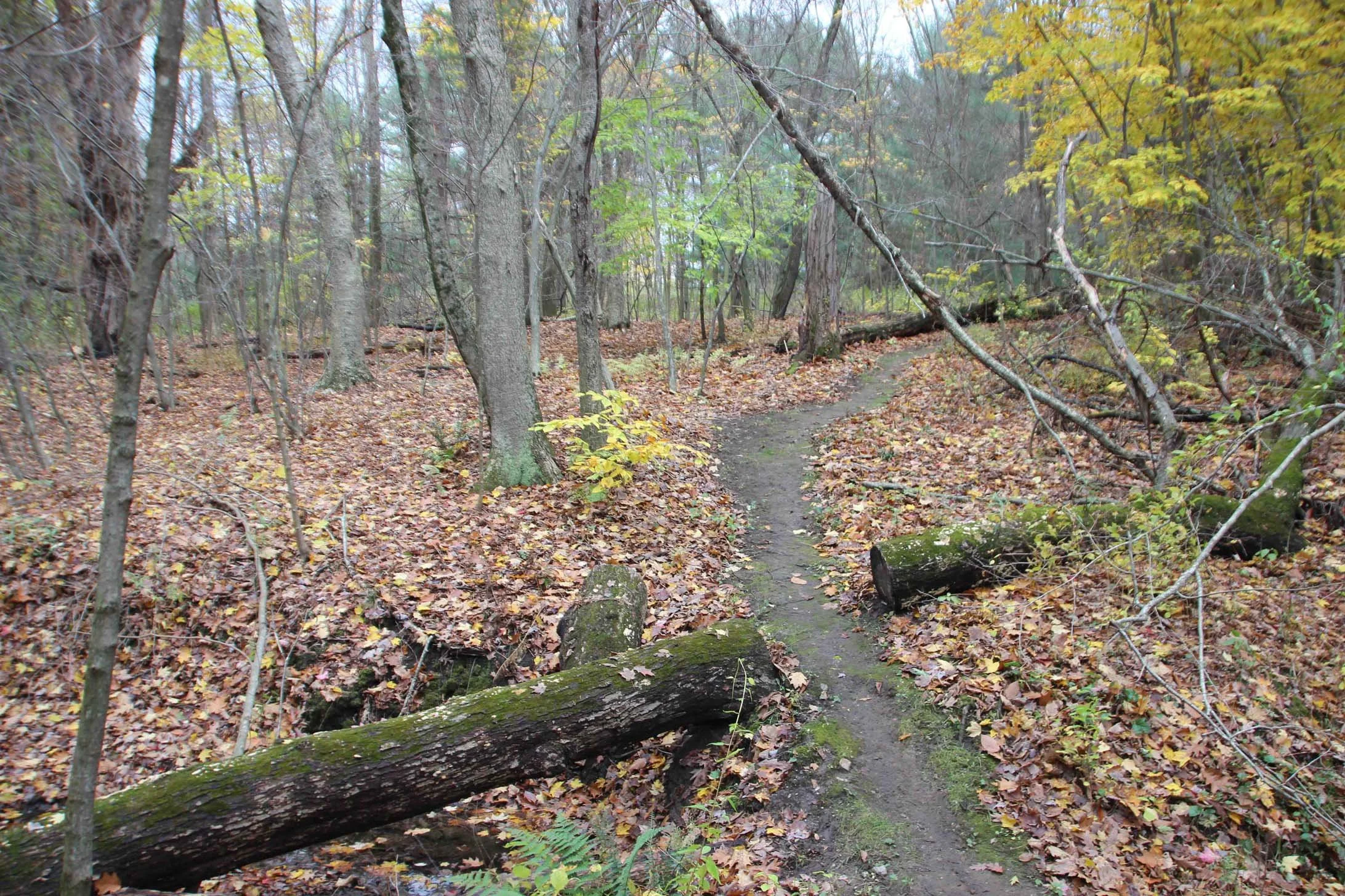
This effort involves the acquisition and stewardship of trail properties and easements to provide a network of public walking paths for the general public. All these properties are pack-in/pack-out and allow dogs so long as they are kept on a leash.
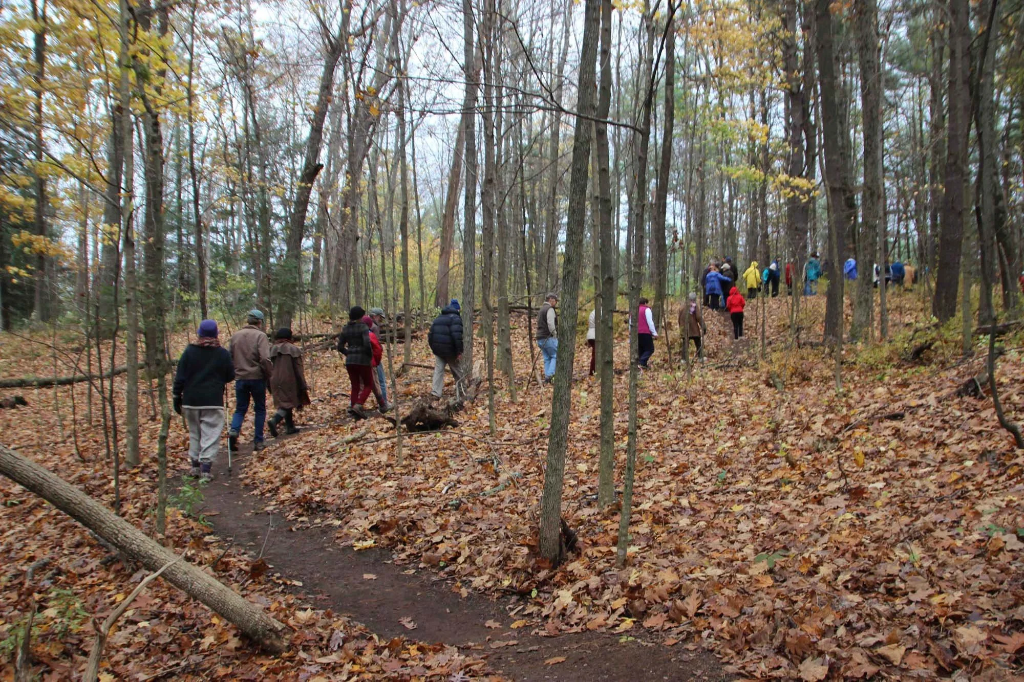
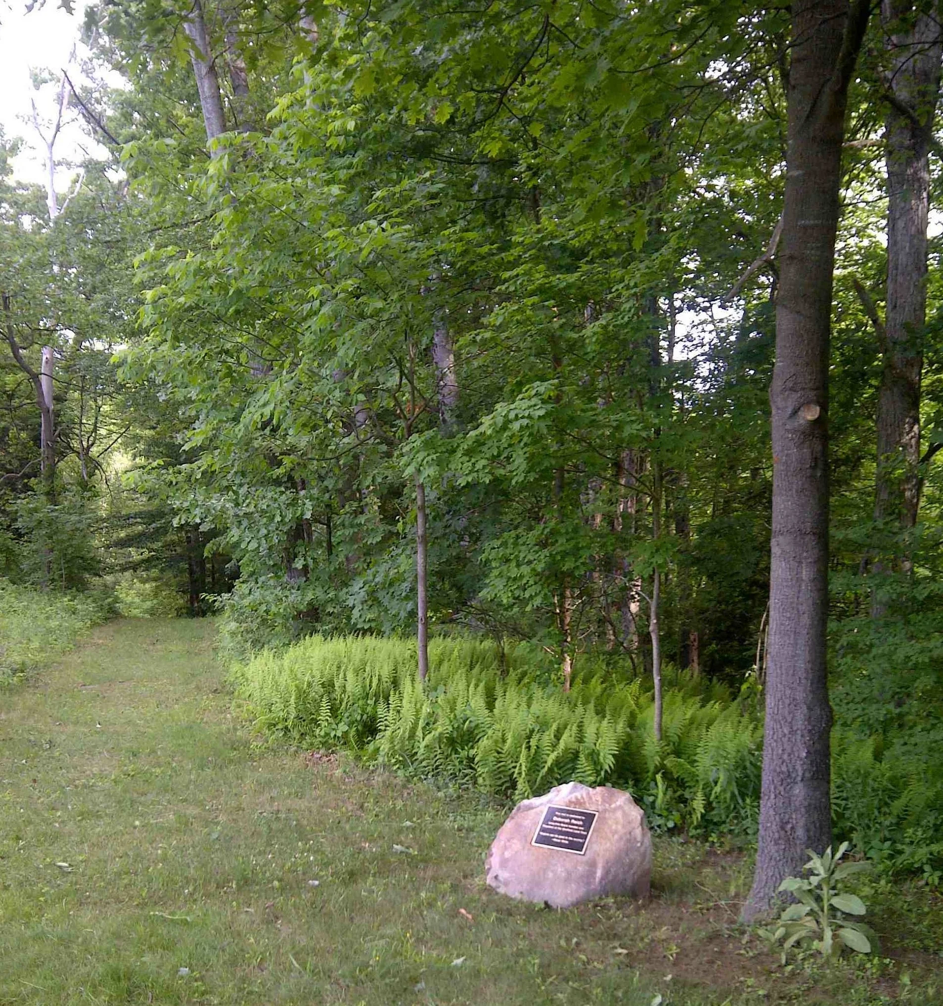
Deborah Reich Community Trail / Cosgriff - 21 acres
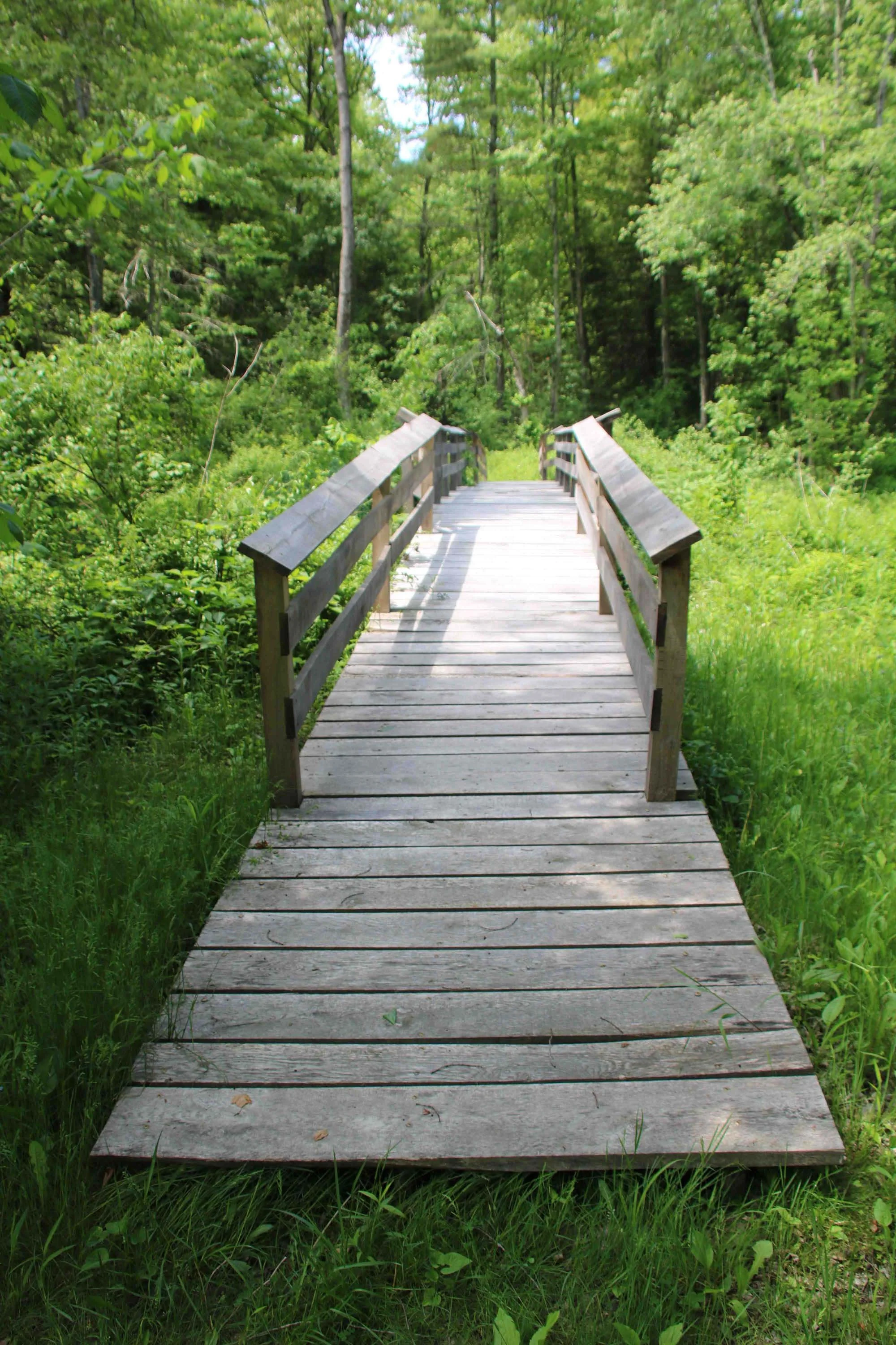
Located near the Southern Berkshire Regional School District campus at the northeastern anchor of the Schenob Brook Area of Critical Environmental Concern (ACEC), and provides walking paths for town residents and an educational and recreational resource for students. SLT is adding benches and working on labeling trees.Ashley Falls Woods - 32.4 acres with established rustic walking paths that is a recreational opportunity within walking distance of the Village of Ashley Falls. We are partnering with Greenagers to upgrade part of the trail to be universally accessible to enable a larger portion of the community to be able to access and enjoy exploring the great outdoors.
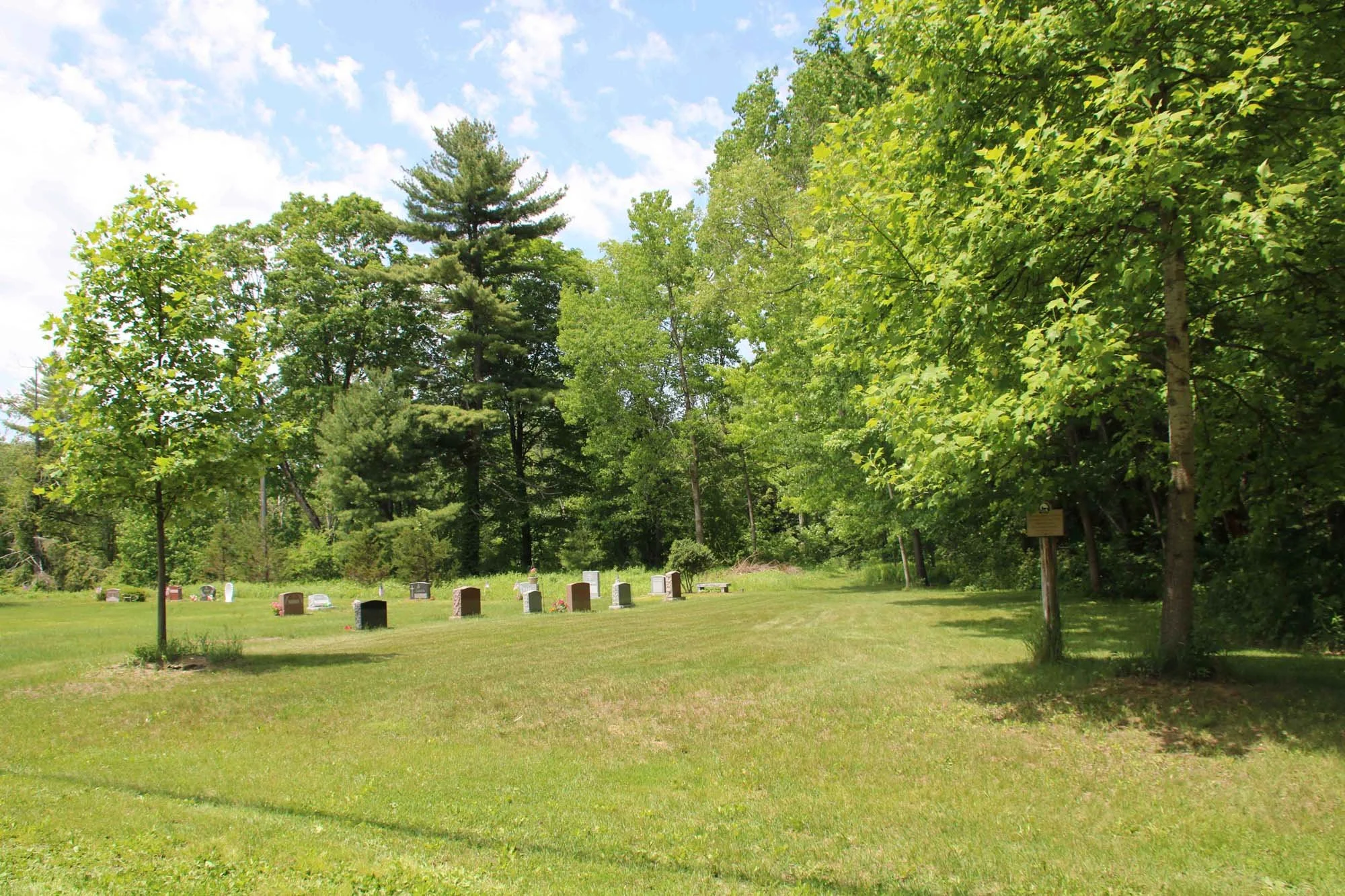
Dohoney Trail and Reserve - 20 acres of upland forest and wetland at the corner of Bears Den Road and Berkshire School Road that has a short portion of the School District’s cross-country trail on it, that can also be used by the public.
Ongoing Improvements We are continuing to make improvements to these recreational properties, including trail maintenance and removing invasive plants, so are always looking for volunteers to help.
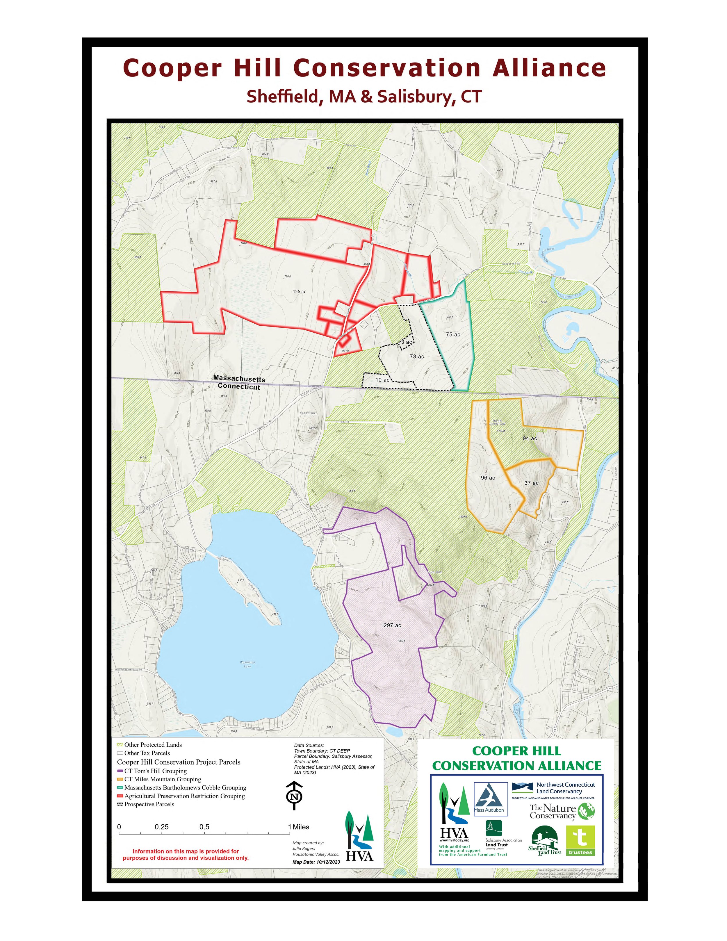
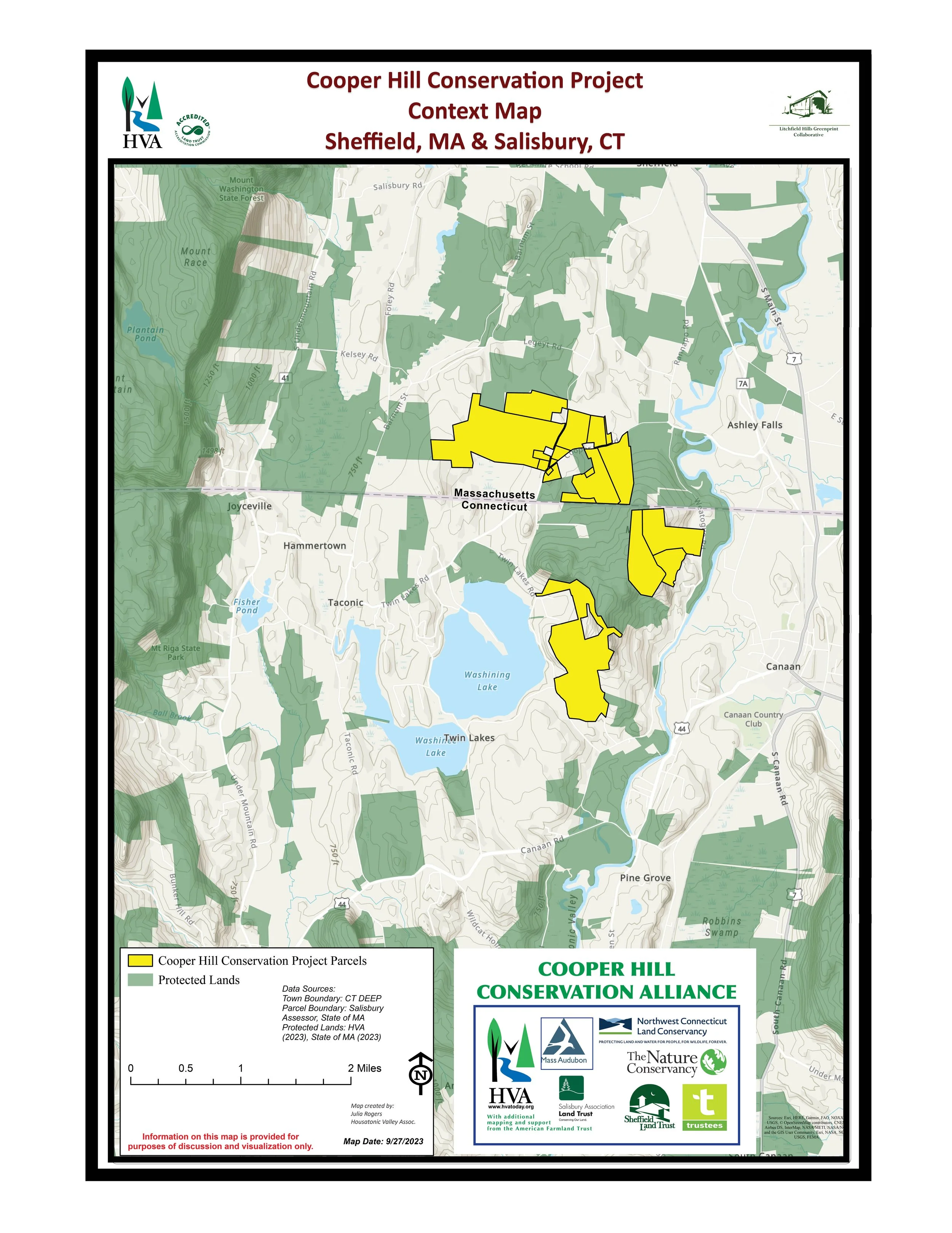
Cooper Hill Conservation Project
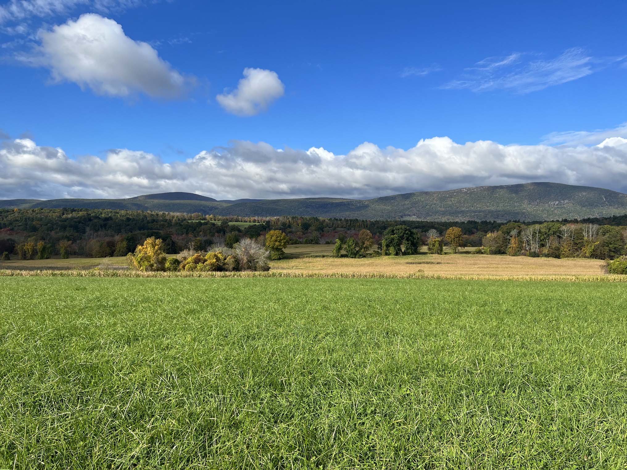
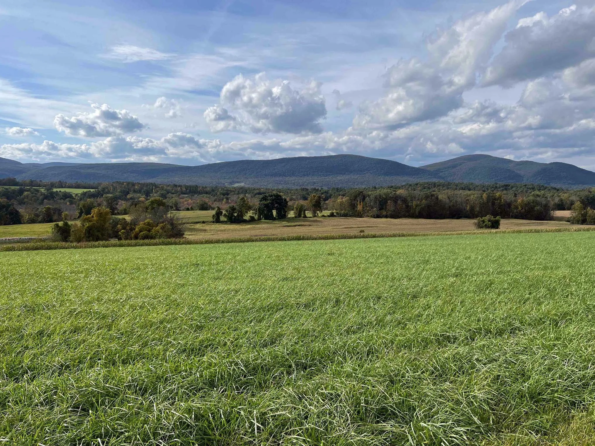
This initiative, started in 2023, will protect an iconic landscape of over 1,100 acres of farmland and wildlife areas in both Sheffield and adjoining Salisbury, CT. It is a collaborative project between the eight conservation organizations of the Cooper Hill Conservation Alliance working with the land owners and farmer. Each parcel is important for its own conservation values and for connecting thousands of acres of already-protected land in both Massachusetts and Connecticut—creating important ecological and agricultural corridors. Two parcels are already in conservation ownership, one property is now protected by an Agricultural Preservation Restriction (APR) another by a Conservation Restriction (CR) and two others will be protected by CRs in the next couple of years.
The Cooper Hill Conservation Alliance is made up of the Housatonic Valley Association, Mass Audubon, Northwest Connecticut Land Conservancy, Salisbury Association Land Trust, Sheffield Land Trust, The Nature Conservancy offices in both MA and CT, and The Trustees of Reservations.
The Cooper Hill Conservation Alliance is working together with multiple State agencies in Massachusetts and Connecticut to help families to conserve this land. Additional ongoing projects will add to this conservation corridor.
Schenob Brook Landscape
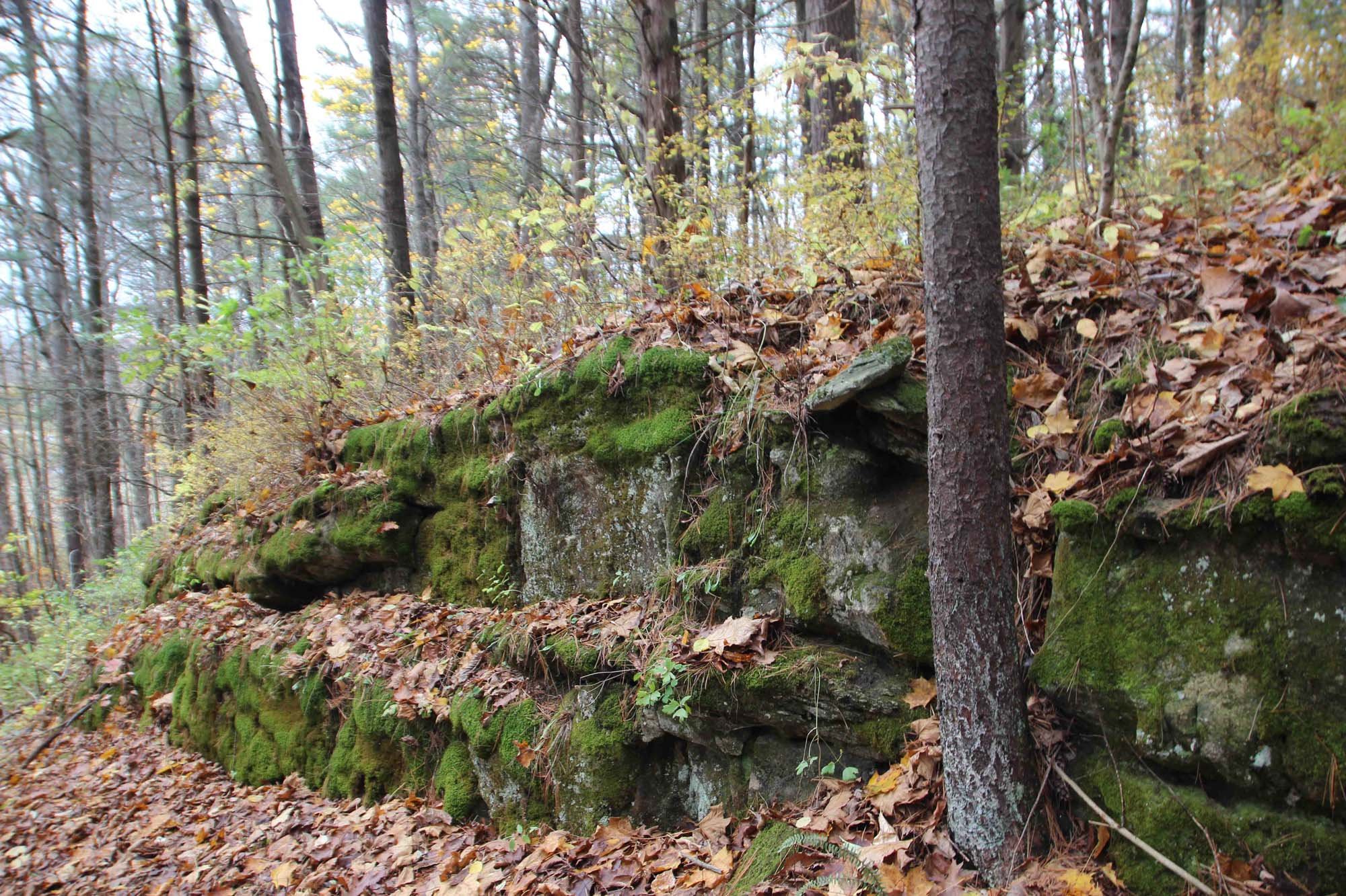
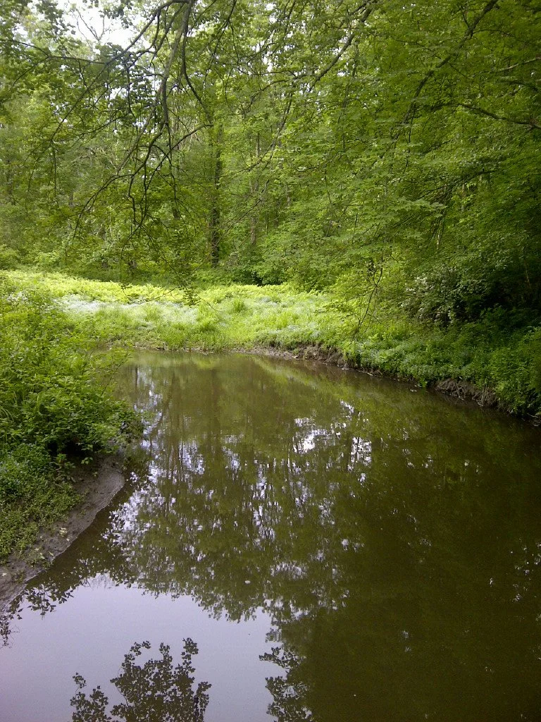
The Sheffield Land Trust’s first three conservation projects, starting in 1990, were in the southwestern corner of Sheffield around the Schenob Brook and its drainage basin, which the state of Massachusetts has designated an Area of Critical Environmental Concern. The limestone bedrock of this intact ecological and agricultural landscape supports concentrations of rare and endangered plants and animals. It connects to thousands of acres of field, forest, mountainsides, and wetlands protected by a range of conservation organizations and state and federal agencies, including the Appalachian Trail. Working with those other organizations and agencies, the Land Trust has helped families to conserve almost 1,000 acres in this part of Sheffield.